río Tagatyja
Country
Paraguay
Length
60 km
Tributaries
(Without claiming to be exhaustive):
(Without claiming to be exhaustive):
Flows in
Der Río Tagatyja ist ein Fluss, der durch sehr kalkhaltiges Gestein fließt. Durch Kohlendioxid wird dieses aufgelöst. Das hat zur Folge, dass Wasserfälle sich (statt wie üblich flussaufwährts) hier flussabwärts verschieben. Ein weitere Besonderheit ist, dass sich der Río Tagatyja nicht immer wie üblich in der Talsohle befindet, sondern zum Teil in einem Graben am Hang fließt.
Time, position
Cond.
w.temp.
pH
GH
KH
O2
Nov.18
[ -22.758,
-57.436 ]
[ -22.758,
-57.436 ]
615.00
28.50
Mar.14
24.00
7.50
09.05.16
19.00
8.00
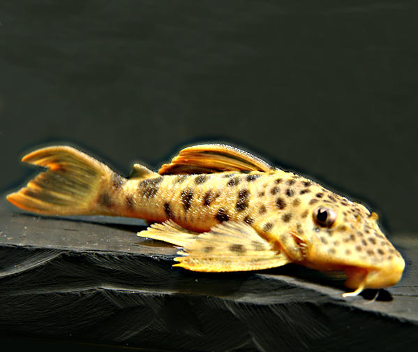
Fishes of río Tagatyja
(Without claiming to be exhaustive)
(Without claiming to be exhaustive)
Species
Country
Origin
Country
Origin
Length
(cm)
(cm)
AQ
(cm)
(cm)
T.
(°C)
(°C)
Bree
ding
ding
One entry found.
Internet sources of río Tagatyja:
Please help with your pictures and information to complete the database: database(at)welsfans.de
