río Tagatyja
País
Paraguay
Comprimento
60 km
Afluentes
(Sem alegar ser exaustivo):
(Sem alegar ser exaustivo):
Fluxos em
Der Río Tagatyja ist ein Fluss, der durch sehr kalkhaltiges Gestein fließt. Durch Kohlendioxid wird dieses aufgelöst. Das hat zur Folge, dass Wasserfälle sich (statt wie üblich flussaufwährts) hier flussabwärts verschieben. Ein weitere Besonderheit ist, dass sich der Río Tagatyja nicht immer wie üblich in der Talsohle befindet, sondern zum Teil in einem Graben am Hang fließt.
Tempo, posição
Cond.
Temp:Á
pH
GH
KH
O2
Nov.18
[ -22.758,
-57.436 ]
[ -22.758,
-57.436 ]
615.00
28.50
Mar.14
24.00
7.50
09.05.16
19.00
8.00
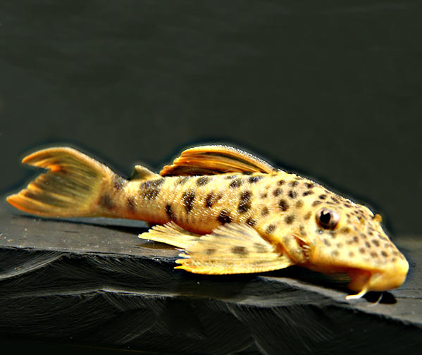
Peixes de río Tagatyja
(Sem alegar ser exaustivo)
(Sem alegar ser exaustivo)
Espécies
País
Origem
País
Origem
Comprimento
(cm)
(cm)
AQ
(cm)
(cm)
T.
(°C)
(°C)
Propa
gação
gação
Encontrou uma entrada.
Fontes em internet de río Tagatyja:
Ajude com suas imagens e informações para completar o banco de dados: database(at)welsfans.de
