río Mocoties
Country
Venezuela
Region
Mérida
Length
120 km
General direction
NE 51.15°
Starts near
˜[ 8.223,-71.890 ]
Altitude
3512 m
Ends near
Estanques
Flows in
Fishes of río Mocoties
(Without claiming to be exhaustive)
(Without claiming to be exhaustive)
Species
Country
Origin
Country
Origin
Length
(cm)
(cm)
AQ
(cm)
(cm)
T.
(°C)
(°C)
Bree
ding
ding
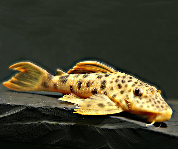
Farlowella curtirostra
Myers, 1942
Venezuela
río El Rodeo, quebrada Tabor, río Monay, río Mocotíes, río Chama, río Guayabones, río Escalante, quebrada Loro, río San Pedro, río San Juan
(Mérida, Táchia, Trujillo)
Myers, 1942
Venezuela
río El Rodeo, quebrada Tabor, río Monay, río Mocotíes, río Chama, río Guayabones, río Escalante, quebrada Loro, río San Pedro, río San Juan
(Mérida, Táchia, Trujillo)

17
100
24 - 27
yes
One entry found.
Many thanks to
for the pictures
Please help with your pictures and information to complete the database: database(at)welsfans.de
