rio Soturno
Country
Brazil
Region
Rio Grande do Sul
General direction
SE 133.29°
Starts near
[ -29.356,-53.660 ]
Tributaries
(Without claiming to be exhaustive):
(Without claiming to be exhaustive):
Sorting
up/down
up/down
Ends near
Dona Francisca
Flows in
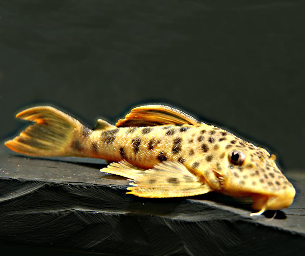
Fishes of rio Soturno
(Without claiming to be exhaustive)
(Without claiming to be exhaustive)
Species
Country
Origin
Country
Origin
Length
(cm)
(cm)
AQ
(cm)
(cm)
T.
(°C)
(°C)
Bree
ding
ding
Cambeva poikilos
Ferrer & Malabarba, 2013
Brazil
Arroio Passo dos Buracos, rio Passo Novo, arroio Linha Louca, arroio Lajeado Fortaleza, rio da Glória, arroio Pinheiro Torto, arroio Erval, arroio Caçador, rio Lajeado Engenho Velho, rio Jordão, im Alto Jacuí-, im rio Taquari-Antas-Einzug, im rio Pardo-Einzug
(Rio Grande do Sul)

12
80
unknown
Heptapterus mustelinus
Valenciennes, 1835
Argentina, Brazil, Uruguay
Río Santo Antonia, río La Conquista, arroyo Mataojo, laguna del Sauce, arroyo Tala, arroyo Mandiyú, arroyo Sarandi, río Negro, arroio Piraí La Plata-Einzug, Río Uruguay-Einzug, Küstengewässer Brasiliens
(Buenos Aires, Escobar, Salto, Maldonado)

Valenciennes, 1835
Argentina, Brazil, Uruguay
Río Santo Antonia, río La Conquista, arroyo Mataojo, laguna del Sauce, arroyo Tala, arroyo Mandiyú, arroyo Sarandi, río Negro, arroio Piraí La Plata-Einzug, Río Uruguay-Einzug, Küstengewässer Brasiliens
(Buenos Aires, Escobar, Salto, Maldonado)

16
100
unknown
2 entries found.
Many thanks to
for the pictures
Please help with your pictures and information to complete the database: database(at)welsfans.de
